Key takeaway: Drones can capture all the data necessary for a highly-accurate solar survey and design. Beyond that, drones also collect data that’s essential for niche commercial use cases and provide data on the drone itself, making repairs or upgrades easier.
Drone imagery is more accurate and real-time than static satellite and aerial imagery, or LiDAR point cloud data.
But… how?
What data is a drone actually capturing that makes it so much more comprehensive than other technologies? And how does that information translate to a 3D model?
In this article, we’ll dive into the technical specifics of a drone—in particular, the elements that allow it to capture site data—and how that relates to solar site surveying.
Site survey data
Here are the key pieces of information that a drone collects on-site, and why each piece is critical for solar projects.
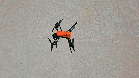
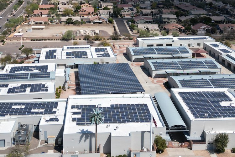
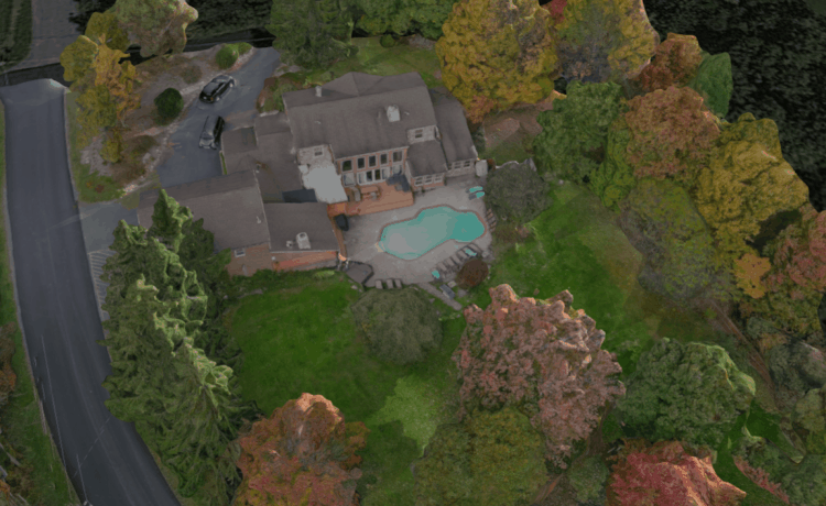
Site pictures: When a drone flies, it takes hundreds of slightly overlapping pictures that cover every square inch of the site, from the property edges to the tops of trees.
Pictures are the essential building blocks of designs, from photorealistic 3D models to the actual site plans that an engineer will stamp.
Georeferencing: Every time a drone takes a picture, it records the precise coordinates (i.e. longitude, latitude, and relative altitude) in the image’s EXIF data. These coordinates are then used to assist in scaling the model during processing and underpin the ability to capture accurate measurements.
The geo-tagged images are also used to conduct an accurate on-site shading analysis. When you know the specific location of a roof plane, and the tilt and azimuth of that roof, you can run a simulation of the sun’s path to determine the sun’s exposure on the property.
Obstacle avoidance: Whether on the roof or navigating various aspects of the site, a drone’s obstacle avoidance sensors both help the drone fly autonomously and avoid crashing.
Date and time: The timestamp on a photo helps not just for understanding recency, but also for seasonal data. For example, a drone survey in the winter might reveal no leaves on dormant deciduous trees. But a timestamp reference will ensure Designers can estimate tree canopy growth in the summer, resulting in more accurate shade analysis.
Specific use case data
Depending on your use case, you might have additional sensors or tools on your drone. Here are two of the most common.
Thermal camera: If a drone has a thermal camera, it can detect emitted infrared energy from objects known as a heat signature. This allows site assessors and engineers to record surface temperature changes on solar equipment.
Multi-spectral cameras: Primarily for agricultural use cases to help anticipate the health of vegetation. In the solar industry, this can be used to determine the health of turfgrass and surrounding vegetation.
Drone maintenance data
The drone has general information about the machine included in the data. As it flies, the underlying data can indicate the machine’s health and potentially when it’s time to repair or upgrade it.
General drone data: Information like the drone type, model, age, and other pertinent details. These can be useful if a drone needs repair.
Flight logs: What types of flights have you done, how many flights, and how many hours of flight time has been put on the drone.
Battery logs: How long each battery charge lasts, so you can track the decline in a battery’s useful life.
Better input means better output
Many drones are capable of flying almost on their own with a predefined flight path. Flight paths that capture oblique imagery are perfect for solar. And drones are continually improving in terms of the underlying essentials for gathering even higher-quality data.
These two factors together—simpler flight path and higher-quality data capture—directly translate to more accurate solar surveying. Not only does this keep your Surveyors safely on the ground, it avoids accuracy problems throughout the entire project lifecycle.