Why Does Solar Shade Analysis Matter Now More than Ever?
A Guide to Navigating Solar Shading Technology & Production Forecasting
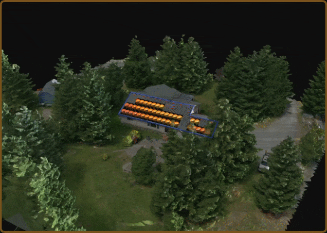
From SunEyes and LiDAR to drones, learn how technology is eliminating the gap between forecasted and actual production.
Solar contractors have been conducting shade analysis for over five decades, so why does it matter now more than ever?
This ebook dives into why shading analysis is so crucial today, a brief history of shading tools, how to conduct a thorough analysis, and how technology enhances vegetation management strategies.
Download now and never have to overpromise and underdeliver on production forecasts again!