SunBug was initially hesitant to try drones for site surveying but decided it was worth a small test.
After a successful trial and rollout, SunBug now has a thriving solar drone program that helps them get accurate site context in a safer, faster way.
Speaking with Scanifly, Pavel Saman, a Project Manager at SunBug, explained how he built the company’s solar drone program and his advice for other solar contractors looking to do the same.
Starting out: try, but validate
Pavel said that drones were a “big unknown for the company” and there was a lot of hesitation.
Like many other solar contractors, SunBug used satellite imagery for preliminary designs and would verify measurements by climbing on the roof. Everyone worked hard to make this process as efficient and safe as possible, and they got pretty good at it. However, it was still time-consuming and there were inevitable safety risks with people on roofs.
SunBug’s leadership heard about the possibility of drones saving them time and money, so they dug into multiple case studies to better understand how drones might help in their circumstances.
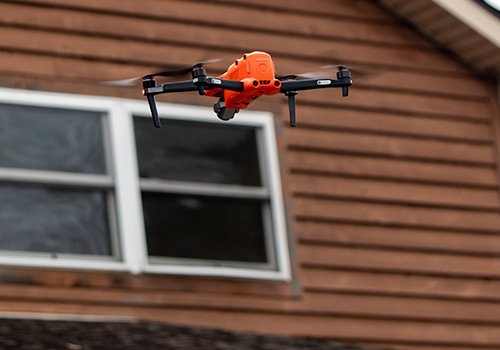
A couple of SunBug employees already knew how to fly drones, so the team decided to give it a try. After talking to multiple solar drone companies, they ultimately chose Scanifly because they felt the platform was the most advanced in the market. Once they got set up with Scanifly, Pavel said the team ran a few test flights with drones but still climbed up on the roof to verify the measurement accuracy.
“On our test flights, we found that Scanifly was accurate to within an inch of measuring by hand and was a lot faster,” said Pavel.
The official drone training program
The company made the decision to encourage everyone to learn how to fly drones rather than have a small team of drone specialists. Pavel said this route is more efficient in the end because any surveyor will be able to help a customer rather than waiting for a ‘drone specialist’ to have an opening in their schedule.
“Despite about half of my team being a bit nervous, everyone has been welcoming of drones because it’s safer than getting on the roof, it’s just as accurate, and our surveying team saw that customers like them as well,” said Pavel.
To accommodate everyone’s learning, Pavel designed a three-step training process:
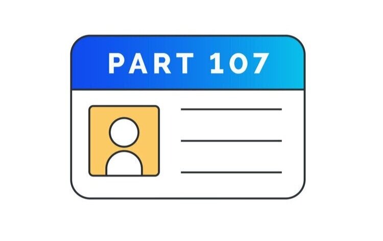
1. Getting a Part 107: Because you don’t need flight skills to get a Part 107 license, this is the first step. SunBug puts surveyors through Drone Pilot Ground School to learn all the relevant knowledge and laws around flying a drone commercially.
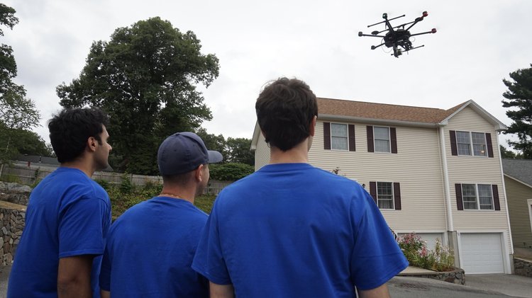
2. Drone flight training: After a surveyor gets their Part 107 license, Pavel trains them on how to actually fly the drone, specifically grid and point of interest (POI) flight paths that are relevant for solar surveying.
3. Scanifly training: As the in-house Scanifly expert, Pavel trains surveyors on how to upload the survey data into Scanifly. From there, he shows them how to build 3D models they can use both to show customers and for permitting plans.
“With proper training, people have found drones aren’t that difficult,” said Pavel. “And it’s great because it’s not just a measuring tool. It’s also a sales tool since we can show potential customers what a solar array would look like on their home.”
Drone program benefits
After six months of investing time to test drones and train surveyors, Pavel said SunBug is starting to notice benefits:
Safety: SunBug operates in densely-populated Boston with its steeply pitched roofs, so staying off the roof is a huge safety win for the company.
Time savings: SunBug is able to average 10-15 surveys per day with drones and Scanifly (compared to 3-5 using ladders and manual measurements). This is in line with other contractors who say they are up to 5x more efficient with drones.
Comprehensiveness: A single drone survey captures the entire site context, making it easier to add more panels or change designs if necessary without any concern that they forgot something.
Hindsight lessons and advice
Looking back, Pavel shared two pieces of advice for any solar contractor thinking of drones:
Train everyone at the same time: Pavel said a big use of time was training everyone individually once they completed their Part 107. That meant if someone completed it in March while another completed it in April, Pavel would need to re-run the exact same training two times. He recommended batching training days together.
Use Scanifly: After testing multiple different solar drone software platforms, Pavel recommended Scanifly. He said other programs focus on measurements alone, while Scanifly’s feature set of 3D modeling, system design, and CAD outputs make permitting and installation plans significantly easier to create.
“We tested multiple platforms, but ultimately Scanifly delivered the best value,” said Pavel.