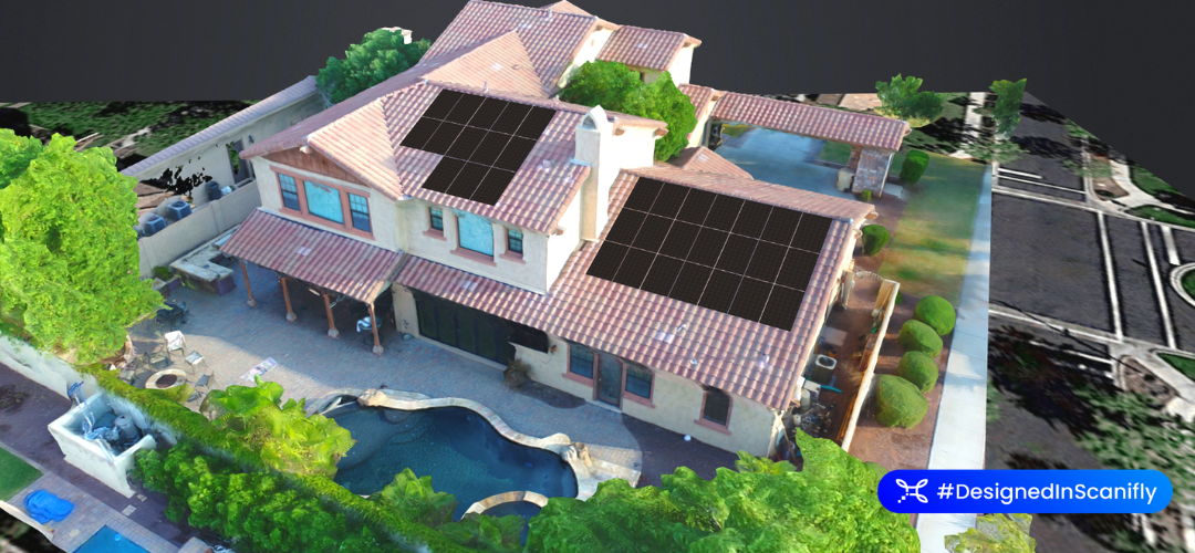
Michael Barker has been in the solar industry for nearly a decade and now runs a solar site assessment business. Using drones and Scanifly, Michael was able to 5x the number of site assessments he can do in a day. Drones also made his work safer and he’s able to charge more for the quality and precision of drone services compared to climbing on a roof with a ladder.
In a Q&A with Scanifly, Michael shared how he got into the business, learned drones, and his opinion on the future of solar energy.
How did you learn to do solar site assessments?
My dad was a solar engineer, so I started helping out with solar site assessments as a part-time job while I was in high school. Then I decided to build my own company as a freelance Site Assessor for solar companies in the Phoenix, Arizona area. I focus only on on-site assessments, and my clients do the design and implementation.
What was your original process for doing solar site assessments?
I used to work the old-fashioned way. I’d drive out to a customer’s home or business, put up a ladder, climb up on the roof, harness myself in, and walk all over the roof with my measuring tape. It took a long time – up to an hour per house.
On hot days, I’d sweat through the paper I was sketching on. I’d end up redrawing the assessments once I got back inside and send those to the solar companies that hired me. Their designers would then recreate my drawings as official solar panel plans.
Why did you first look into drones? Why not use satellite imagery?
It started out as a safety thing. I had a couple of near-misses that could have been major accidents. It became clear to me that I needed to find a way to not climb on roofs all the time. But It was also about time. I was only able to do 1-2 solar site assessments per day because of how long it takes to put up the ladder, harness in, and measure by hand. Since this is just my side business and I only work on weekends, I needed to find a way to do more assessments in a day.
I looked at satellite imaging, but it wasn’t the best solution. First off, there usually aren’t satellite images for new builds. And even when there are satellite images of the building, I’ve found they aren’t that accurate. I’d have to confirm the measurements myself, which still had me climbing on roofs.
Drone surveys solved my problems really well. I wouldn’t need to climb on roofs anymore and drones could do a whole roof in maybe 15 minutes. After I got FAA certified and learned how to fly my drone (it took about a month to learn), I was able to go from 1-2 assessments a day to 10-11 assessments – a 5x efficiency gain.
Was it hard to get an FAA drone license?
Nope. Learning how to fly my drone was pretty easy. Same goes for taking the FAA certification course. I had to pay a couple of hundred dollars for the course, but I’ve since made that money back because of how much more efficient I am in my business.
How has your site assessment work changed since learning to fly drones?
Drones have made my work safer, faster, and easier.
I manually checked measurements the first couple times I used a drone, and noticed they were accurate to within an inch or two every time. Not harnessing in or climbing up saved me a bunch of time. But even more than that, the drone basically flies itself with some built-in software. I press a button, it flies around the house taking pictures, and automatically measures everything.
My clients also love that Scanifly produces ready-made sketches, since their designers don’t have to translate my manual drawings into official panel plans. And I love it cause I don’t have to worry about redrawing everything if it’s a hot day.
What’s your opinion on the future of solar energy?
I think the panels themselves will become more efficient, so people won’t need as many on their homes. And I think technology like Scanifly is actually making it easier to be a solar worker. We save time, we’re more efficient, and it’s safer.
I think in a couple years, we’re going to look back and notice how far we’ve come. I’m excited.
Triple Your Company’s Solar Site Assessment Volume with Scanifly
With Scanifly, residential drone flights average 10 minutes, while commercial properties take just 20 minutes; only one solar site surveyor is needed to capture perfect accuracy, and you can avoid redesigns and change orders. Now surveyors can average 3-5x more sites per day, especially if projects are collocated.
Request a demo of Scanifly’s solar drone software to see for yourself how your company can cut costs, drastically increase survey volume, and keep your surveyors off the roof.

