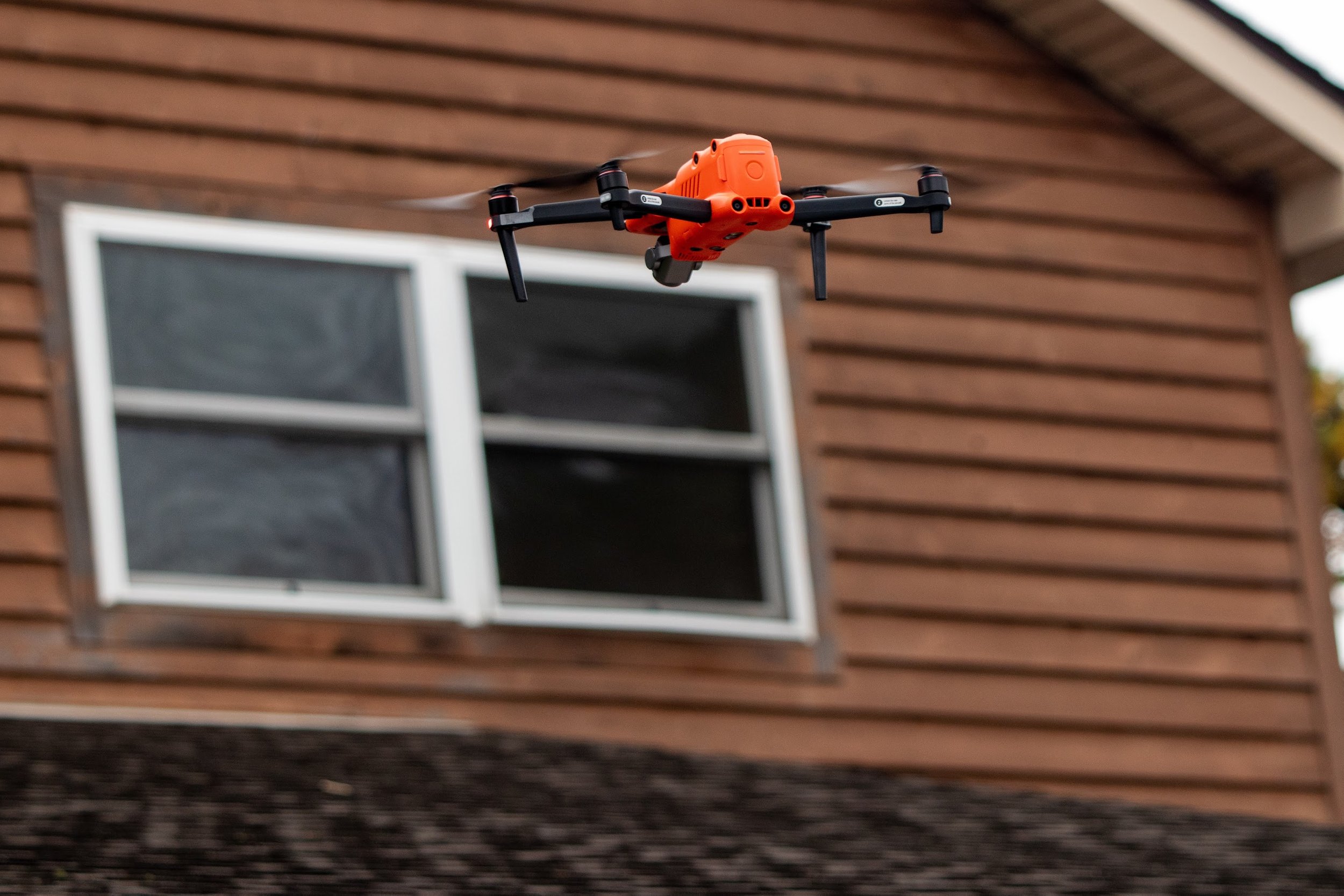
Solar contractors know a thing or two about roofing. Because most residential solar arrays are rooftop projects, understanding roof health is critical. For contractors, this means knowing how to assess roof conditions, structures and materials, while also maintaining local roofing relationships to help customers fix problems. Luckily, drones can significantly help with this by providing more upfront information that reduces the risk of dropping equipment, onsite safety issues, or redesigns.
Despite drones being very helpful and efficient, they cannot do everything; it’s critical to know what they can and cannot tell you about roof health.
What drones can tell you about roof health
The underlying, high resolution drone images are very informative for seeing roof detail, especially when flown at an oblique angle or using orbit flight paths. If you build a 3D model using drone images, you’ll also get significant information on the roof itself. Here’s what you can garner:
Dimensions: Models derived from drone images can give you accurate measurements equivalent to measuring with a tape by hand, if not better. This includes the standard length and width of the roof but also captures roof planes, gutter angles, and the differing heights of houses with roof peaks or multiple rooflines.
Obstructions: If there are any obvious things either blocking the roof (such as vegetation or poles relevant for shading) or obstructing the roof plane (such as vent pipes and attic fans), these will be detected. You will also be able to spot any broken obstructions on the roof that need repair prior to a solar installation.
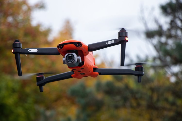
Roof deflection: When you make a 3D model using drone images, you will be able to see things like roof deflection or sagging. You can even notice structural splints where the homeowner might need some renovations in order to be safe for solar (often, these details are easy to miss when inspecting in person).
Shingle patching and broken shingles: Using detailed drone flights, you can more easily pick up patching or differing shingles that might be harder to notice when climbing on the roof.
General site context: An overhead image can tell you where the roof lines sit in relation to other parts of the property such as the driveway or major vegetation.
Where drones fall short (from a roof-health perspective)
Drones are fantastic but don’t hit every single element from a roof-health perspective, and sometimes they don’t replace the benefits of having a person on the roof. Here’s where they miss the mark:
Structural integrity: While a drone can pick up roof sagging or differing shingles, it cannot detect “soft spots” or see inside the house, attic, or structural space. This means it can’t assess for things like structural integrity or hidden water damage that might impact an installation. If a person cannot get into an attic to assess these things, they will need to go on the roof.
Shingle bend testing: A drone can tell you if shingles are different from one another, but it cannot conduct shingle bend testing or notice loose granules on shingles, which is especially prevalent on homes with older shingles that are typically more brittle and likely to break during a solar installation.
Single layers: A drone usually cannot pick up if there are multiple layers of shingles on the roof. While it might be able to give some indication of layering if some are broken and you can see something underneath, this will need to be confirmed manually in the vast majority of cases. Luckily, this test usually only requires a ladder going up to the edge of the roof versus climbing on the roof.
Gauge tests for metal roofs: In some cases with metal roofs, you need a gauge test to identify what gauge (thickness) the metal is. This is incredibly difficult, if not impossible, to do with a drone because of how thin metal roof sheets can be, so you’ll need to do this manually.
Local regulations: There are some cases where going on the roof is required either by local regulations or the age of the home. In these cases, a drone can provide backup or additional context but can’t do the survey work for you.
Save time with a drone plus these workarounds
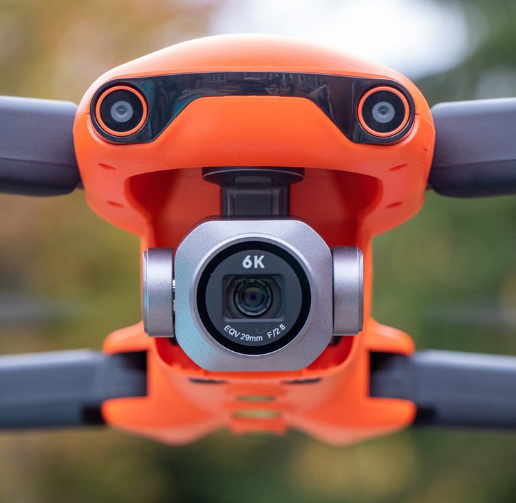
While drones cannot replace all human capabilities, they universally save time when it comes to both solar surveying and assessing roof health. With the current, manual method, people spend anywhere from 60-120 minutes on the roof collecting measurements. Using a drone, measurements are captured automatically, and you can include it as part of your roof health assessment toolkit alongside an interior assessment and telescoping ladder for in-person shingle checks.
Further, determining which homes to manually check roof health versus simply drone mapping can be nuanced. Roof quality can vary based on geography and age of the property, which should inform a solar contractor’s policy regarding what is just drone mapped and when should a surveyor still go on the roof.
For example, if the home is less than 10 years old, has been reroofed in the last ten years, or you have easy access to the attic, where you can see its structural integrity, then a roof walk might not be necessary. These homes are commonly found in the US Southeast, Texas, and Southwest. Alternatively, for older homes like in the Northeast, where attic access is limited or roof quality is hard to determine, you may always need to go on the roof.
Even if you have to climb on the roof to assess certain things a drone can’t capture, you’ve already saved significant time from not needing to measure the roof and from having some assessment data captured for you. Ultimately, the goal is to minimize roof time while maximizing information gathering.

