
commercial solar
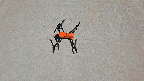
What Data Is My Drone Capturing?
Drones can capture all the data necessary for a highly-accurate solar survey and design. Beyond that, drones also collect data that’s essential for niche commercial use cases and provide data on the drone itself, making repairs or upgrades easier.
Learn why drone imagery is more accurate and real-time than static satellite and aerial imagery, or LiDAR point cloud data.