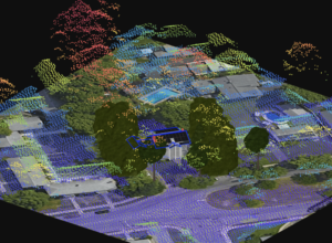
LiDAR
What Is LiDAR And Why Should You Care?
Key takeaway: LiDAR is a government-funded data source that shows geospatial 3D information, such as structure mapping, vegetation, and terrain, making it helpful for collecting

What Is LiDAR And Why Should You Care?
Key takeaway: LiDAR is a government-funded data source that shows geospatial 3D information, such as structure mapping, vegetation, and terrain, making it helpful for collecting
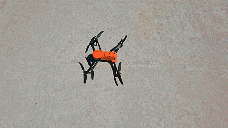
What Data Is My Drone Capturing?
Drones can capture all the data necessary for a highly-accurate solar survey and design. Beyond that, drones also collect data that’s essential for niche commercial use cases and provide data on the drone itself, making repairs or upgrades easier.
Learn why drone imagery is more accurate and real-time than static satellite and aerial imagery, or LiDAR point cloud data.
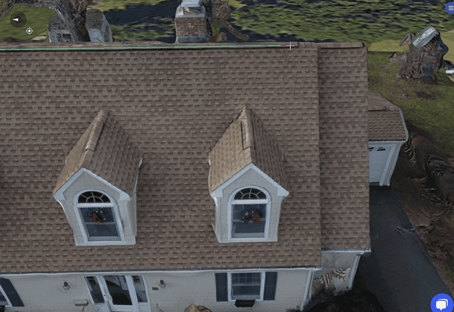
Do PV Designs Really Need Square Corners? See what experts say.
Outside of towers, dormers, hips, and other unique roof designs, most roofs are square or rectangular in nature—meaning theoretically, they have 90-degree angles. However, this isn’t the case in reality. Learn why squaring off the corners matters so much for making accurate PV designs.

3 Reasons You Need Remote + On-Site Data For Install Planning
Sales proposals almost always leverage satellite or remote imagery, but there’s a problem. Solar surveyors and designers overwhelmingly report satellite imagery is not fully accurate and needs to be verified onsite. Find out three distinct reasons that impact not just the ability to complete the project, but also profit margins.