All Posts
Training The Next Generation Of Renewable Energy Professionals
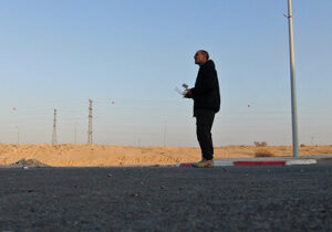
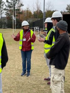
By: Daniel Castano, Lead Technical Trainer at Scanifly TL;DR: Denise Renfro at Douglas Byrd High School in Fayetteville, North Carolina, launched a renewable energy course