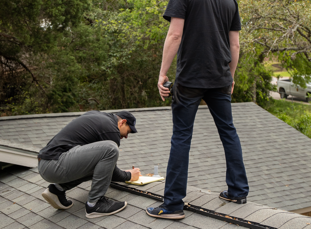
One third (32.3%) of manual surveys with hand measurements take 60-90 minutes or longer. And more than half (51.6%) of manual surveys take 30-60 minutes.
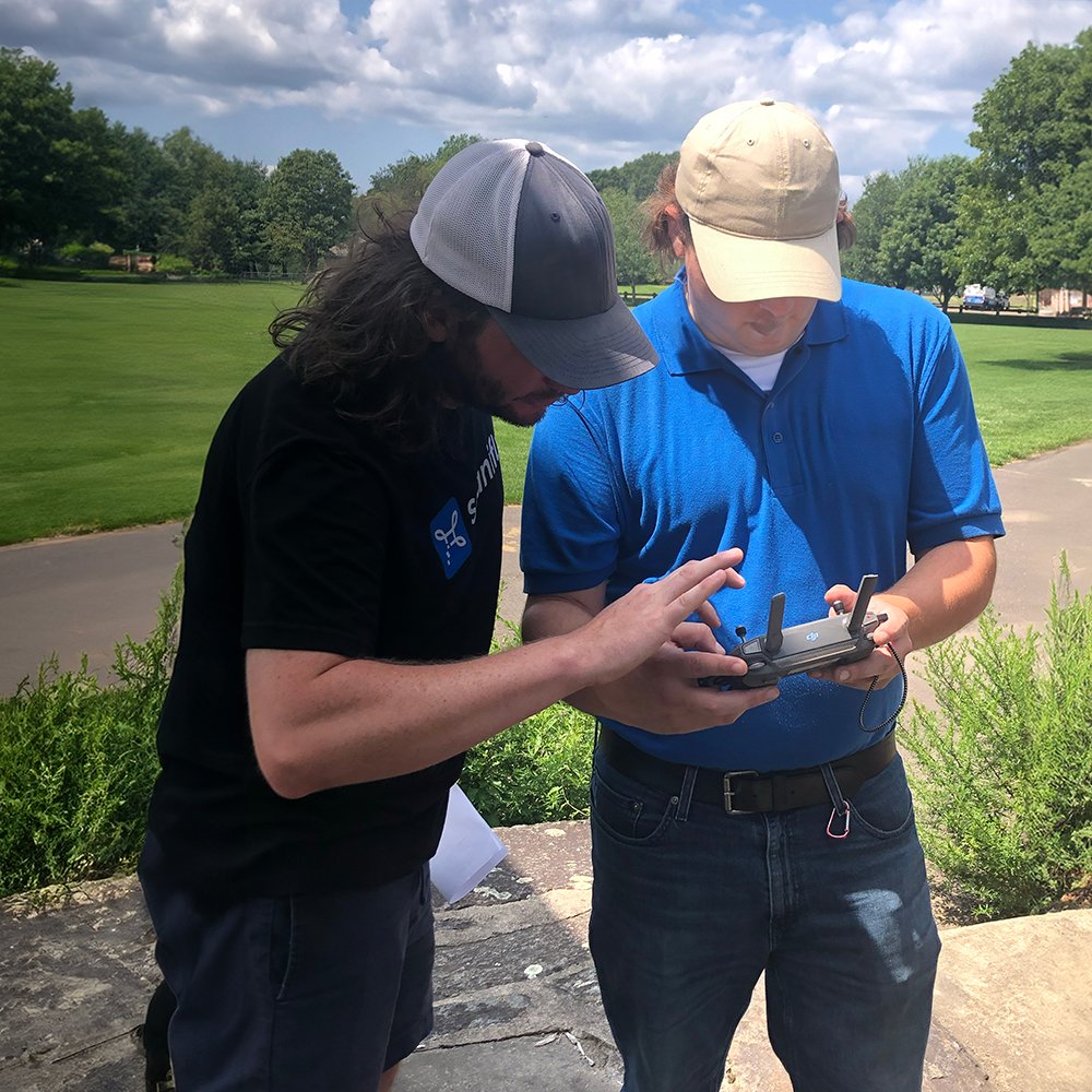
The same survey with a drone takes 10-15 minutes (and you don’t need to climb on the roof).
If you’re doing an average of 3-5 surveys per day, drones will save you upwards of two hours per day — time you can use to conduct more surveys or follow up with potential customers.
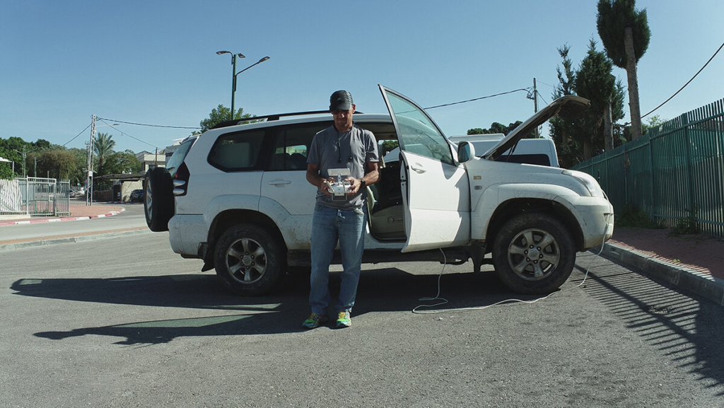
Learning how to fly a drone takes about 30 minutes and getting your FAA Part 107 license takes about 10-15 hours. By two weeks after bringing drones into your surveying workflow, you’ll save more time than you spent learning and getting licensed.
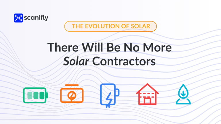
Drones Make Your Life A Lot Easier
The key benefits of drones is that you collect all site information and data is equally accurate to manual methods. Further, all information is automatically shared and collected in a single platform, saving time at every step in the project process, from design to procurement and installation.
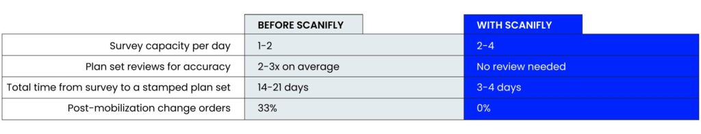
We’ve not only tested this ourselves, but we see it with other Contractors. For instance, Solar Energy Services project timelines went from 3 weeks down to 3 days when they implemented technology and switched from manual processes.
The ROI of learning drones is massive—drones can make you 5x more efficient, meaning you’ll make up the time spent on learning very quickly. Even if you’re a total beginner who’s never touched a drone before, you can learn drones and get FAA licensed in under 25 hours total.
What If My Hand Measurements Are “Accurate Enough”?
If your manually-measured surveys are “always accurate,” it’s likely that one of a few things is happening:
- Your surveys take a very long time and are costly in terms of salary hours for two Surveyors per job
- You only measure the proposed roof planes and might miss better areas for solar or overflow space in case of a change order.
- You’re using conservative measurements like overly-large setbacks to accommodate for errors or not capturing every obstruction and roof detail.
- You’re using remote imagery, which means your Designers are working overtime to correct mistakes or your Installers are fixing issues on install day
- Your installers aren’t telling you what actually happens on install day and have accepted a revision as just “part of the job”.
And even if that’s not the case, your design team still needs time to translate manual notes (e.g. drawings on paper) into digital records—and deal with issues like if the paper gets wet, sweat on, or if a team member has messy handwriting. This amounts to drafting the entire site over again, and 25% of Designers say this takes over an hour per project.
Then if anything goes wrong — 57.4% of Designers say revisions happen on at least a quarter of projects and 9% say every project has at least one error — your team is stuck revising it. Some revisions can take hours to address or require another truck roll; the average cost is $750 per revision. If you rely on satellite measurements, these delays and revisions will happen more frequently because of the graininess and unreliability of satellite imagery.
And if the issue is not fully fixed by the time you get to procurement or install day, your Install team is delayed further (and that’s if they can; they might just be forced to call off the installation entirely to allow time for repermitting).
The reality is it’s not possible to get truly “perfect” measurements by hand. It either takes too much time or you’re making mistakes you don’t realize. Both cases result in a lot of manual design work that wastes a lot of time.
Think Holistically, Not Just Upfront
Drone programs take some time (and money) to set up. We don’t deny that.
But holistically, it’s a significant time and cost savings — plus it sets you up to widen your talent pools, retain your good people, and take on more sales capacity.
With the continued evolution of the solar industry, every Contractor needs to take a step back and think holistically about their business. By trying out new technology, you can create a safer work environment for Surveyors, a more accurate starting point for Designers, and a better working day for your Installers. All it takes is a few hours of learning.